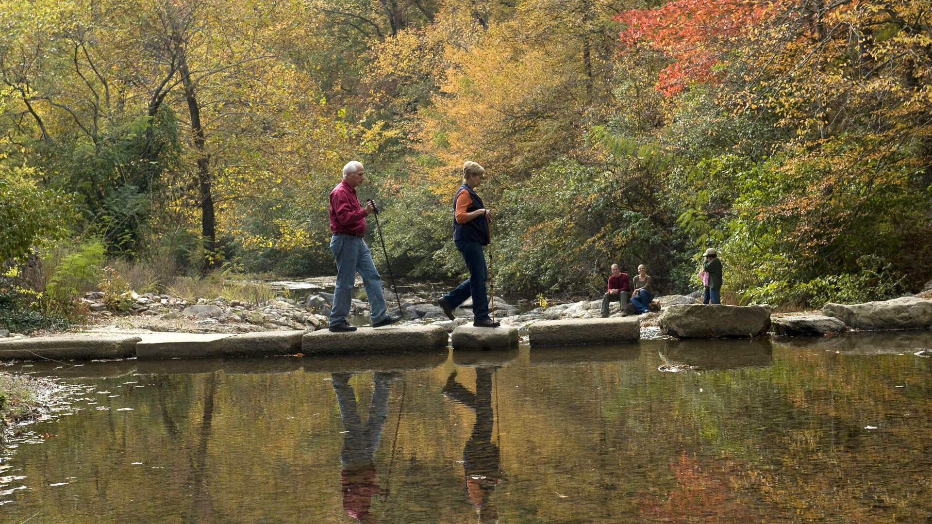
Hiking is a year-round activity in Arkansas, and Hot Springs National Park in Hot Springs has 26 miles (42km) of trails for you to hike on when you visit. There are trails of different distances and difficulty levels and they are divided into different sections of interconnected routes known as the Hot Springs and North Mountain Trails and the West Mountain Trails. Both of these areas are composed of relatively short, interconnected trails. The Sunset Trail is a longer trail that travels through more remote areas of the park.
The first section seems to be more heavily used, since you can get to these trailheads easily from behind the Fordyce Bathhouse, via Hot Springs Mountain Drive, and at Gulpha Gorge Campground. The West Mountain trails have trailheads at Whittington Park and the Canyon Trailhead.
At 10 miles (16km), Sunset Trail is the longest trail in the national park. It is a linear trail so if you want to do the whole thing, you will need to get a shuttle in place. One option is to park a car at Gulpha Gorge Campground and then drive to the Sunset trailhead on West Mountain Summit Drive to begin your hike, which will end back at the campground. I’ve done this option before and it makes for a great day hike destination.
If you don’t want to do the entire Sunset Trail, there are options to take on various points of it in three different sections. The West Mountain section is 2.8 miles (4.5km) and takes you between West Mountain Summit and Black Snake Road. You can find parking and trail access at both ends of the trail. This route is popular because Music Mountain, which is the highest point in the park, is in this section. A Sugarloaf Mountain section goes for 2.6 (4.2km) miles between Black Snake Road and Cedar Glades Road. Parking and trail access are available at both ends of this trail too and a scenic spot known as Balanced Rock is found in this section.
The Stonebridge Road section goes for 3.8 miles (6.1km) between Cedar Glades Road and Gulpha Gorge Campground. Parking and trail access are available at both ends of this section, which passes through land on Stonebridge Road that was once part of the Fordyce family estate. Railroad magnate Samuel Fordyce was a vital figure in the early development of Hot Springs as the spa city. He opened the Fordyce Bathhouse in 1915, which today serves as the Visitor Center for the national park. The beautiful Ricks Pond is also found here.
